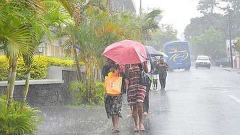
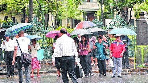
Torrential Rain Last Week: More Intense and Frequent Rains Expected this Summer
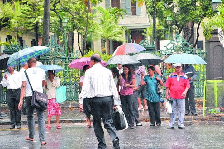
Generalized, they brought in their wake of floods, including Tamarin Bay, the most affected. If the weather is back, the meteorological station of Vacoas calls for vigilance, other more intense and frequent showers are expected this summer, especially on the Central Plateau and the western region. Meanwhile, these showers were beneficial to agriculture and stabilizing the level of our water. In some areas where the rivers, made contribution to the network of the CWA to serve subscribers had a big crowd, the agency has revised its schedule distribution on a temporary basis. However, the larger being expected summer rains in December, vigilance must be maintained.
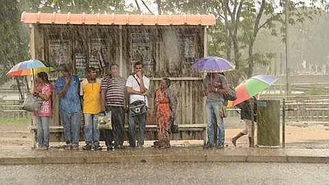
While November average for the region of Tamarin totaled 31mm in two hours Thursday afternoon, this region recorded 48.7mm. Remarkably, this region is known to be very dry. The meteorological station of Vacoas explains the situation by highlighting it as an extreme event caused by a system of cloud mass, followed by sea breezes These generally fall light rain occurring later in the afternoon afternoon, but associated with a cloud mass, they can become very intense. At the station of Vacoas, it shows that the extreme event that has affected the country in the night from Wednesday to Thursday should be repeated several times during the summer period 2013-2014 with more intensity. Regions of the West and Central Plateau should feel the greatest impact. On the night of Wednesday to Thursday, while heavy showers have gone through the island, accompanied by first summer storms is Vacoas, with 90mm, which recorded the highest rate of rainfall. S’ensuivent Plaisance (72mm), Nouvelle Découverte (71mm), Mon Loisir Sugar Estate (70mm), Rose-Belle (58mm), Belle Mare (50mm), Domaine Les Pailles (38mm), le Champ de Mars (38mm) et Souillac (10mm).
"Now casting"
Depending on the weather station, with rains in the island on Wednesday, the country - recorded with 76mm overall - has already raised 95% of the average for the month of November which is 80mm. It is expected that this figure will be exceeded with the next heavy rain that cross the island. If at this stage it is too early to the days when the country will also be drunken, weather station relies on its system Now casting - forecasts of 1-3am - to warn the population. A system that worked Thursday afternoon while the area was flooded Tamarin, warning of heavy rains - issued at 4am as affecting the whole island - having been removed earlier in the afternoon. The weather station will make maximum use of its new website that comes into operation tomorrow to warn the population. At this point, the weather will prevail for several days yet. The weather station announces that a new heat wave should win the country today and the downpours are not expected before the last week of November. It will be fair weather in general, except in the afternoon, in the Central Plateau and the western region, which may be subject to sea breezes
Stabilization tank level
If Tamarin, houses, close to Tamarin Bay, were flooded in a particular region, the recent rains have been especially beneficial to agriculture. They have also been beneficial to our water, mainly rivers, which have perked up slightly, note the CWA. At the water surface, the rains have helped to stabilize the tanks. On Thursday, Mare aux Vacoas was filled to 56.8% capacity, the Nicolière 45.2%, Piton du Milieu 52.5%, 23.9% Farm, Mare Longue Dam Midlands and 63.2% 42.4%%, representing an overall average of 47.3% against 47.2% just a week ago.
Authorities noted that in addition to the stabilization tank levels that contribute to 30% of the distribution network, the rivers - which represent 20% of the water injected into the network - have taken their attendance in some places. While it is too early to assess the situation in groundwater levels, contributing to 50% of the distribution network, the CWA has the last few days, revised its distribution schedules for some regions, such as those served by the Grand River North West. Thus, temporarily, the areas served by the treatment plant straws, namely Port Louis Guibies and surrounding areas receive water an hour earlier in the morning and evening. The CWA states, however, that this relaxation is temporary, depending on the evolution of the situation. It calls for vigilance, keeping in mind that the heavy rains that are used to fill the tanks are expected in the second half of December. The CWA and recommends discipline for judicious use of water and invites customers to take advantage of periods of rain to store water for non-potable uses.