A Low Intensity Earthquake Recorded In The Area-Mauritius-Reunion Rodrigues
According to the United States Geological Survey (USGS) the earthquake was recorded at 7:51 p.m., Tuesday, March 19. Its epicenter was six miles deep and 300 km east of Rodrigues or 892 km east of Mahebourg.
It is irrelevant for observation centers, but it is still in the area, seismic activities are rare. Mauritius weather was informed, but had no reason to be alarmed.
" This is nothing new. The earthquake was a magnitude 5 on the Richter scale. That's when it exceeds a magnitude of 6.5 it becomes serious , "says Sudhir Beegoo station Vacoas.
The latest seismic activity in this area was registered on 26 July 2012. According to the USGS, it was an earthquake of magnitude 6.7 on the Richter scale occurred at 389-387 kilometers east of Rodrigues.
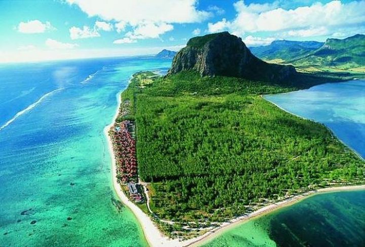
Rodrigues is located near the Southwest Indian Ridge (MIR), which is a tectonic plate boundary.