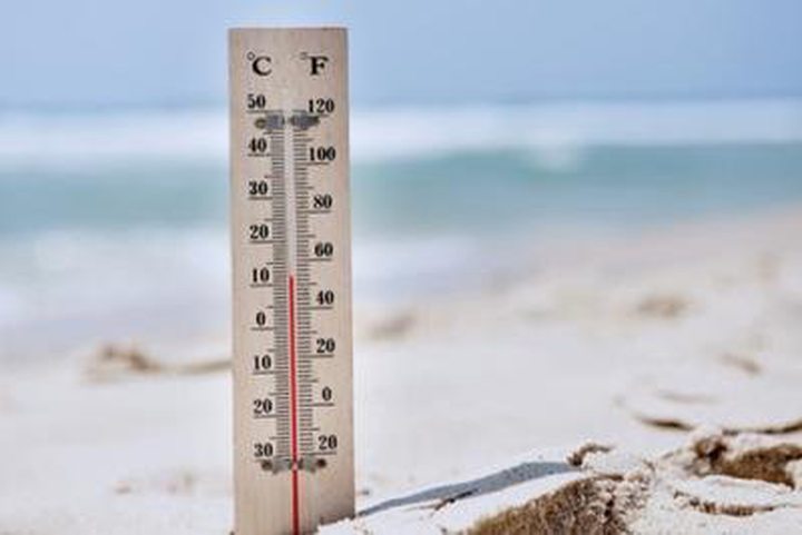
Weather: Minimum 12 ° C Confirmed this Week
The forecasts made - with a maturity of more than six days - last week by the weather station of Vacoas to confirm tomorrow with the first effects of a high and strong winds that blow over the island. These winds will also be strengthened gradually, reaching 80 km / h. Rain will also be there at certain times, which gives a typical winter weather.
This anticyclone, which was still far in the Atlantic Ocean late last week, is now off the South African coast and closer in the Mascarene region tomorrow. Fresh wind in the region, says Mamade Beebeejaun, director of the meteorological station of Vacoas, will be a significant contribution to the strengthening of the anticyclone gain energy from tomorrow. The effects of this system will be at their peak on Thursday and Friday, which could bring down the mercury to a minimum of 12 ° C, mainly on higher ground at night. The island is under the effects of this high pressure until the weekend.
As announced late last week, the anticyclone generate a stormy sea from tomorrow and heavy swells are expected Thursday or Friday. The average height of the waves will be 4 meters high and 5 meters sea in Rodrigues. It could be a notice of strong waves is emitted from tomorrow and safety data for sea trips
The cold does not give us respite with the announcement of another anticyclone next week, probably stronger than the current one and will push the cold polar air in our region. The cold feeling will be even greater, says it does. The director of the meteorological station of Vacoas is also noted that the highs are more successors gradually as it approaches the peak of the winter season. Note that the lowest temperature of the season was recorded Monday in Mon-Wood with 12.1 ° C.